Historic Fannin County Maps
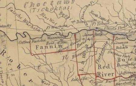
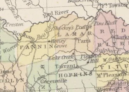
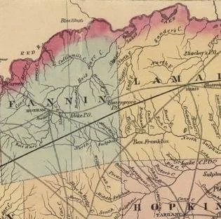
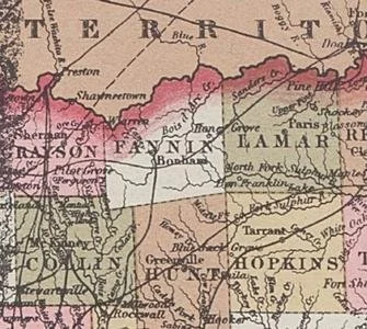
Showing Honey Grove
Koenen, Fr. Karte des Staates Texas aufgenommen in die Union 1846 : nach der neuesten Eintheilung, map, 1849; Elberfeld, Germany. University of North Texas Libraries, The Portal to Texas History, texashistory.unt.edu; crediting University of Texas at Arlington Library.
Map of Texas. Compiled from surveys recorded by the General Land Office. By J. Eppinger & F. C. Baker. 1852,
University of North Texas Libraries, The Portal to Texas History, texashistory.unt.edu; crediting University of Texas at Arlington Library.
Young, J. H. (James Hamilton) & Hazzard, J. L. Map of the State of Texas from the Latest Authorities, map, 1852
University of North Texas Libraries, The Portal to Texas History, texashistory.unt.edu; crediting University of Texas at Arlington Library.
Pressler's Map of the State of Texas. 1858
G. W. & C. B. Colton & Co.
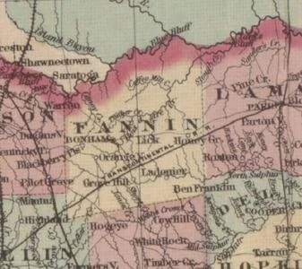
Colton's new map of the state of Texas. 1871
University of North Texas Libraries, The Portal to Texas History,texashistory.unt.edu; crediting University of Texas at Arlington Library.
G.W. & C.B. Colton & Co. Colton's new map of the state of Texas : The Indian territory and adjoining portions of New Mexico, Louisiana and Arkansas., map, 1873
University of North Texas Libraries, The Portal to Texas History,texashistory.unt.edu; crediting University of Texas at Arlington Library.
